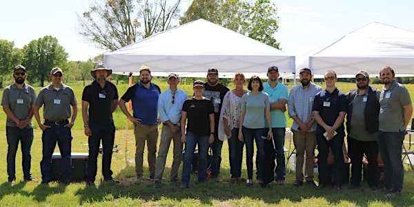
SmartFleet Academy #003

SmartFleet Academy #003

Join other leaders in surveying and civil engineering who are unlocking the opportunity to check out the SmartDrone Discovery - for free!

By SmartDrone Corporation

Date and time

Friday, June 25, 2021 · 9am - 4pm CDT

Location

SmartDrone Headquarters

2014 Deerbrook Drive Tyler, TX 75703

About this event

Location: SmartFleet Academy occurs in person at our headquarters in Tyler Texas. We are located on Grande/Paluxy. Please reach out if you have any concerns about finding us after registering.

A quick reminder: this event is an excellent opportunity to hear from experts in the commercial drone industry and learn about LIDAR sensing. Seats at each event are limited - register now if you haven't already!

Visit our website for tons of information at smartfleet.smartdrone.us

Overview

SmartDrone, a manufacturer of small industrial drones, works with leaders and executives of land surveying businesses who are responsible for data collection and delivery. The SmartDrone solution provides accurate data ten times faster than traditional methods, delivering 1-foot contours that meet or exceed national standards (NMAS, ASPRS, USGS). This lets leaders reliably aggregate data, operate more effectively, and focus more on strengthening customer relationships.

SmartFleet is an event that lets leaders, college students, and staff in surveying and civil engineering fields come together to learn about getting their FAA Pt. 107 Certificate to fly drones legally, learn about LIDAR data basics, plan a commercial drone mission, go in the field and collect LIDAR data, and then process and view the data in field. All in one day!

FAA Pt. 107 Study Process

Get complimentary access to resources SmartDrone has developed for studying and passing the FAA Pt. 107 certification, exclusive study cards, and an overview of commercial drone laws. Receive a step-by-step guide for earning your certification, and flying legally.

LIDAR Data Basics

Learn and understand the fundamentals of LIDAR technology: 'How is a point cloud collected?', 'How can LIDAR points be meshed with traditional shots?', and 'How do you measure the accuracy of aerial LIDAR?'

Mission Planning & In Field Data Processing

Plan a mission in the office and then head to the field with your class to deploy the SmartDrone Discovery, and collect your own LIDAR data. Use SmartDrone's software suite to easily generate one-foot contours from the data you just collected. Your data will be stored on a USB stick to take back to your team at the office.

Organized by

SmartDrone is a nationwide drone mapping services provider and manufacturer. We specialize in drone LiDAR and photogrammetric data collection for industries such as surveying, civil engineering, construction, mining, and more.

Sales Ended