Marine Debris Monitoring with Tomales Bay State Park x NOAA
What better way to celebrate California State Parks Week 2024, than with some community science, and a highly engaging beach clean-up?
Date and time
Location
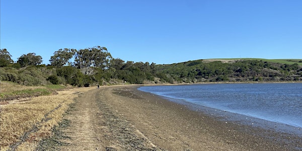
Millerton Point
15475 California 1 Inverness, CA 94937About this event
- 2 hours
What better way to celebrate caring for our shared lands than with some community science, and a highly engaging beach clean-up? This year, Tomales Bay State Park is thrilled to be launching the NOAA Marine Debris Monitoring and Assessment Project (or MDMAP) during California State Parks Week!
Participants can expect to partake in a scientific beach survey, which includes transecting a 100m stretch of beach, collecting and categorizing marine debris (i.e. human and natural litter) and relaying that information to State Parks staff who will upload the data from the survey to the NOAA database for public access.
Participants should be mindful that this is not a standard beach clean-up. Due to the nature of NOAA’s goals for the project and the reliance on quality data collection, it is a standardized, scientific survey, and classification process that relies heavily on volunteers and community-driven scientific research. For this reason, the program is not suitable for children under the age of 10. Registration via Eventbrite is required for all participants. Participants should dress appropriately for the weather, wear sturdy shoes, pack snacks/lunch, and water.
*Program is tide-dependent, and times are subject to change. *
The MDMAP website states: “The Marine Debris Monitoring and Assessment Project (MDMAP) is a NOAA [community] science initiative that engages NOAA partners and volunteers across the nation to survey and record the amount and types of marine debris on shorelines.” Monitoring marine debris helps scientists understand the amount, types, and sources of debris that are most common, as well as where it accumulates, and if it is changing over time. The information that is collected from volunteer led surveys, is then analyzed for potential prevention and mitigation efforts.
To navigate to Millerton Point, drive along Highway 1 North for about 5 miles past Point Reyes Station. The turnout will be on your left, between a grove of eucalyptus trees. Plan to meet staff near the entrance to Alan Sieroty Beach.
Want more information? Follow the links below to learn more about NOAA’s MDMAP project and the “what and why” for monitoring marine debris.
Frequently asked questions
The MDMAP website states: “The Marine Debris Monitoring and Assessment Project (MDMAP) is a NOAA [community] science initiative that engages NOAA partners and volunteers across the nation to survey and record the amount and types of marine debris on shorelines.”
Prepare to be walking during the entirety of the event. Hiking boots or sturdy shoes are recommended. Millerton Point tends to be windy, please dress accordingly for the weather. Pack snacks/lunch and bring plenty of water and sunscreen.
Yes. Program is limited to 20 individuals due to instructor's capacity, and the overall goals of the MDMAP project.
No, the event is free to participate, parking fees do not apply.
The program is going to be held at the Southeastern property of the park, across the bay from Heart's Desire Beach, at Millerton Point which is located along Highway 1 North.
Please do not bring your dog if you are planning to participate in the MDMAP project. You will be busy surveying the beach. Dogs are allowed on the Millerton Point Trail however, as long as they are leashed.