Georeferencing in QGIS - online workshop (April 22nd)

Georeferencing in QGIS - online workshop (April 22nd)

Georeferencing in QGIS - online workshop

By Stanford Geospatial Center

Date and time

Friday, April 22, 2022 · 9am - 12pm PDT

Location

Online

About this event

Georeferencing in QGIS - online workshop

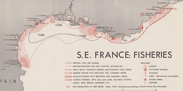
This workshop covers the basics of georeferencing static images in a GIS using the open source GIS package QGIS. Georeferenced images or maps can be used as contextual layers in a GIS project, or as part of a data extraction process to convert static map data into digital vector data.

Setting up for best results

Georeferencing from a set of known map coordinates

Georeferencing by linking to a basemap

Digitizing new GIS features from a georeferenced maps

Please visit the workshop landing page for full instructions and download links.

Organized by

The Stanford Geospatial Center's mission is to support any and all GIS use across the entire Stanford community.

Sales Ended